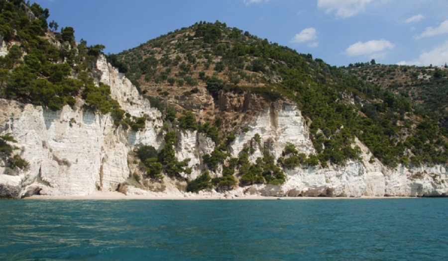
The Gargano is an almost entirely mountainous headland, it reaches a maximum altitude of 1055 m (Monte Calvo) and extends into the Adriatic sea for several kilometres. The inner areas are cut by the deep valley of the Carbonara fault, crossing the promontory from West to East; karst processes shaped the calcareous bedrock, creating wide surfaces carved by dolines, the greatest of which is the huge Dolina Pozzatina, near the town of San Nicandro Garganico. The eastern coastline of the promontory shows a number of deeply carved Pleistocene fluvial valleys, nowadays almost inactive.
The cliffed rocky coast near Mattinata (Gargano National Park, Foggia Province - Apulia)